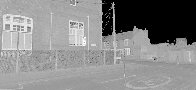
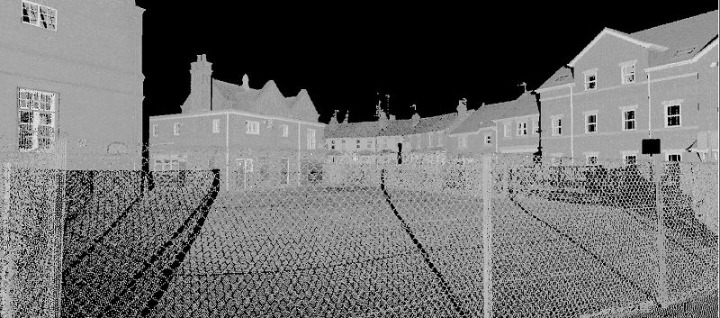
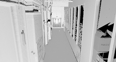
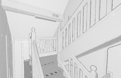
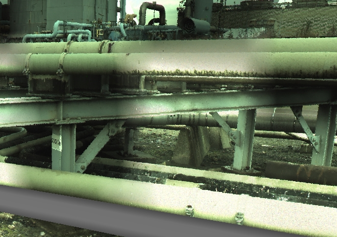
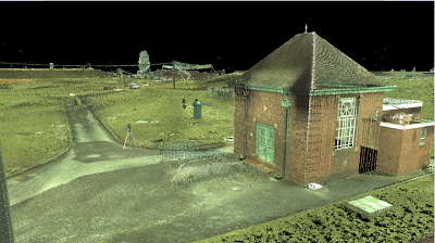
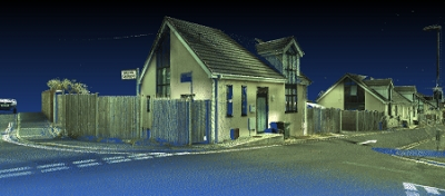
3D Laser Scanning is a powerful way of collecting survey data, it is detailed and highly accurate.
We use Leica laser scanners to ensure high point cloud quality and density.
-
Pont cloud data can be incorporated into your architectural and engineering BIM projects.
-
Our point cloud data can be uploaded into various design packages such as Autodesk Revit and AutoCad Civil 3D.
-
It is ideal for presentations as well - the free TrueView Microsoft Internet Explorer plug-in lets you view, pan, zoom, measure and markup point cloud data.
- Scan data combined with image gives excellent visual results.
-
Data is tied to local or OS national grid.
Click on our samples below.
3DMap Surveys Ltd, 21 Kingsway, Chandler`s Ford, Eastleigh, Hampshire, SO53 2FG. Tel. 02380 485 968 Email: sales@3dmapsurveys.co.uk